
Story by Benjamin Regan
Sports Associate
Photo by Erin Lee
Staff Photographer
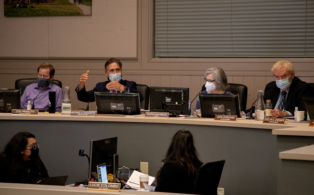
The City Council held a public hearing for community members to voice opinions on the city’s redistricting at its meeting on Wednesday, Jan. 19. This meeting was the second of four hearings in which the City Council will receive public input as to where the districts should be divided.
The city is required to redraw the districting map every decade, taking into account data from the Census in addition to population and demographic changes. The redrawing will also acknowledge communities of interest, so that similar sections will be kept together in the same district.
Ken Chawkins, consultant at the National Demographic Corporation, led a presentation on the map redrawing to give the public a complete view on how to approach redistricting. Criteria for the map ranges from roughly equal populations to geographically compact districts.
“Maps have to be contiguous, they must connect,” Chawkins said. “[One] isn’t allowed to create a map that looks like they’re gathering for a protective class. You can’t purposely create a district for a certain class or racial group…no racial gerrymandering.”
Moreover, districts created can’t skew local elections and district borders must be maintainable and easily identifiable. Future population growth is another component to consider. Chawkins emphasized “preserving the core of existing communities” as an essential step in forming five distinct districts.
Chawkins also stressed communities of interest, a requirement in the recently passed California State Maps Act, as the paramount issue in creating a map. He mentioned homeownership or school attendance rates as potential community of interest characteristics, but also noted communities of interest are more subjective than mere population data. Chawkin reminded the public audience that maps dividing communities of interest must be defendable if challenged.
“Communities of interest is a little more of a term of heart,” Chawkins said. “[One] can define communities of interest however they’d like, the key is to understand that if this gets challenged in court, [one needs] to be able to defend the map they created. [One] cannot draw a map that splits up a community and dilutes their potential as a district.”
The presentation then offered technology that South Pasadena city residents can utilize when creating their maps. These include the Map Review Tool, the Simple Map Drawing Tool, Dave’s Redistricting App, and Caliper’s Maptitude Tool. Tools like these enable citizens to experiment with the districts and fiddle with the populations of each, simplifying this map-making process dense in criteria.
Public comments were taken, in which residents expressed their recommendations, questions, and concerns of redistricting.
“I believe that when [one] creates these next maps, they should focus on making sure people could walk to their council persons’ house,” community member Josh Alberktson said. “The people who live in the North part of district two and the South parts of district two, those people are three miles apart but they have vastly different concerns.”
South Pasadena will continue to solicit input on redistricting through a community survey, flyer, social media connections, and future workshops, all in an effort to gain traction and maximize submissions. In addition, a third meeting will be held on Wednesday, March 2, and the fourth and final meeting will be on Wednesday, March 16. Submissions of draft maps are to be turned in by Saturday, February 19.
Those interested in submitting a map or asking further questions can contact Chawkins and the redistricting committee at redistricting@southpasadenaca.gov.